
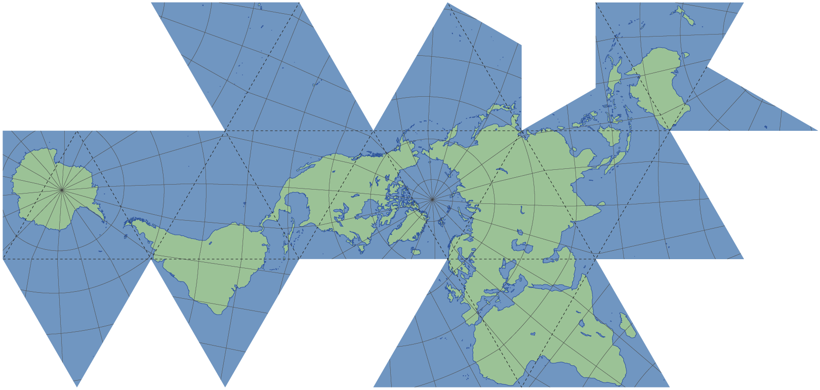
Recently, there has been a lot of talk online about the world map as we know it; not being entirely accurate. Read more about this by clicking here.
How can we explain this to our pupils?
I looked online and stumbled upon this fantastic website. It is called Thetruesize.com and it allows you to directly compare the sizes of different countries.
Have a look at my video guide, to see how effective it is:
Feel free to share any other great geography websites in the comments below 🙂

